Masterportal
The Masterportal serves as the primary interface for geo-spatial data visualization and analysis.
Authentication and Access Control
The optional login for the Masterportal is configured with KeycloakKeycloakThe component that manages access to data spaces across all platform components. It uses realms, clients, roles, users, and groups, and represents each data space through specific roles., ensuring secure access. For using the login, the login plugin must be configured during deployment (see documentation for Masterportal config.js and config.json). In addition, the Masterportal layers must be configured within the portal backend, i.e., they must be assigned roles that have been defined in keycloakKeycloakThe component that manages access to data spaces across all platform components. It uses realms, clients, roles, users, and groups, and represents each data space through specific roles..
After configuration, themes and layers can be filtered based on user roles defined in KeycloakKeycloakThe component that manages access to data spaces across all platform components. It uses realms, clients, roles, users, and groups, and represents each data space through specific roles., allowing for tailored user experiences.
In addition, integration of public datasets, such as geojson from open data sources, enhances data availability and visualization capabilities.
Map Printing
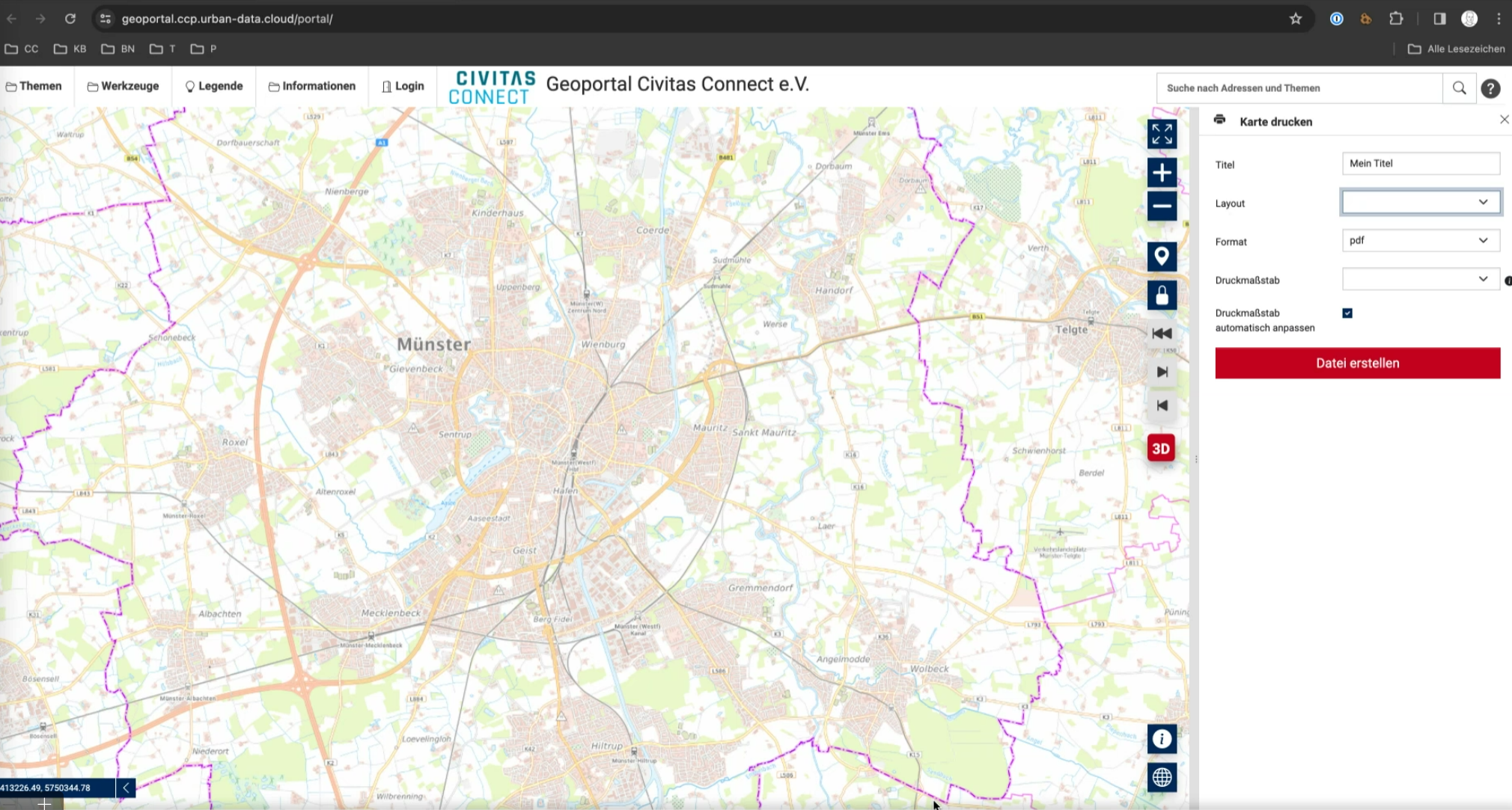
Maps generated within the Masterportal can be printed using Mapfish Print functionality, facilitating the creation of physical copies or PDF exports.