OGC APIs
This API provides an interface to the Geoserver via the APISIX endpoint /geoserver.
Getting started
To utilize an API via APISIX, you need an account registered on our Keycloak IDM, and an administrator needs to grant you access to a workspace.
For accessing the API with valid credentials, please see How to Get an Access Token.
Workspaces
This API facilitates a generic approach to tenancy through the division of data into so-called dataspaces. These dataspaces are represented as Geoserver workspaces and can only be accessed if your Keycloak-user is a member of the related group and you have been granted a role to read data in this dataspace.
Further readings
The official website provides multiple guides, best practices, and maintains git repositories with use cases and data models.
- WFS_Operations
- WMS_Operations
- WMTS_Operations
- CSW Operations
- WCS Operations
- WPS Operations
- TMS Documentation
Description of the REST API Configuration
Examples
Before the following examples can be executed, an access token must be created. The following guide can help with that: How to Get an Access Token.
Tip: All curls given can be used in tools like Postman by just copying the curl command into the request field.
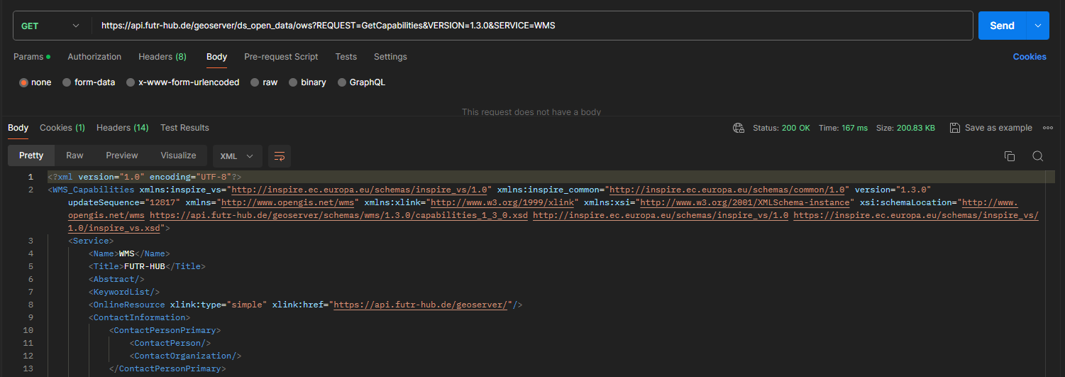
WMS GetCapabilities
curl --location 'https://api.futr-hub.de/geoserver/wms?service=WMS&version=1.3.0&request=GetCapabilities'\
--header 'Authorization: Bearer <access token>'
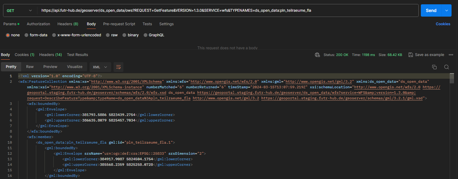
WFS DescribeFeatureType
curl --location 'https://api.futr-hub.de/geoserver/ds_open_data/ows?REQUEST=GetFeature&VERSION=1.3.0&SERVICE=wfs&TYPENAMES=ds_open_data:pln_teilraeume_fla'\
--header 'Authorization: Bearer <access token>'