GeoServer
The GeoServer is the geo-spatial server of the platform that allows for the publishing and management of geo-spatial data and services. It provides powerful capabilities for managing and serving geo-spatial data.
Upon logging in as an administrator, the following administrative view is displayed:
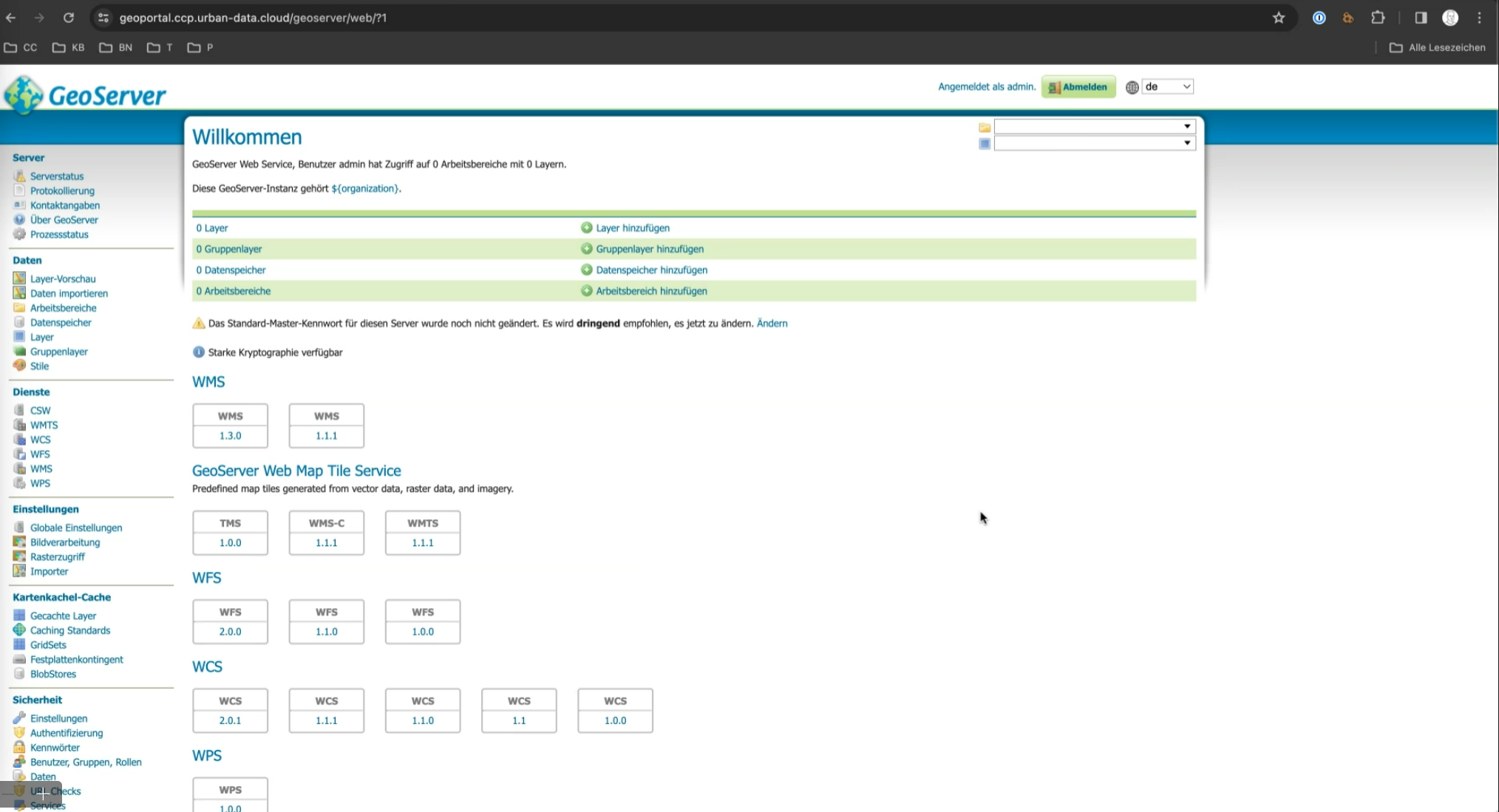
The GeoServer is organized into data spaces (workspaces) and data layers. Data layers are geo-spatial datasets like shapefiles or databases published for web mapping. Data spaces organize layers, allowing users to manage, group, and share related data.
Data Layer Management
New layers are defined within the menu group "Data".
Data Space Management
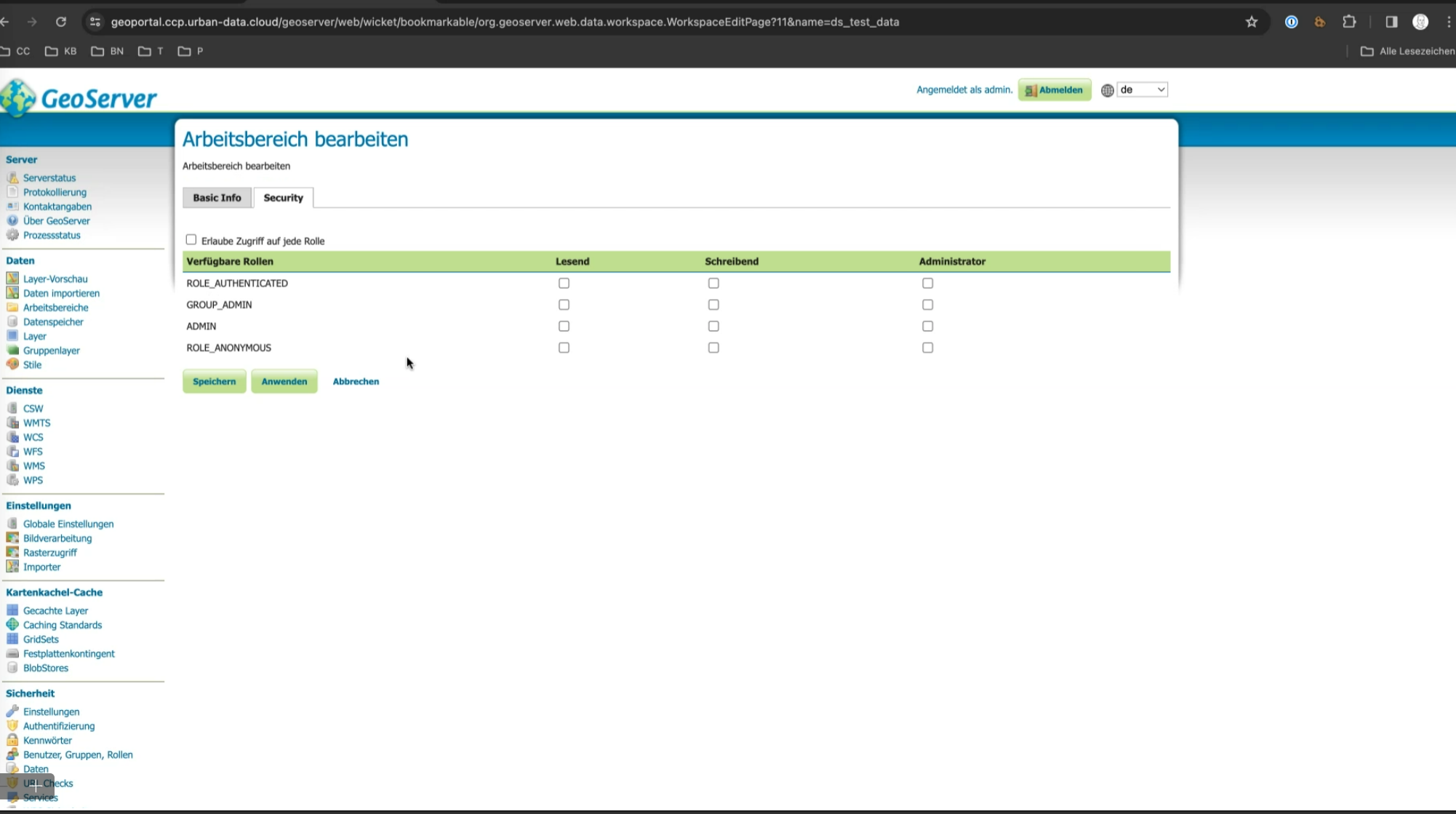
A data space is equivalent to a "Workspace". Data spaces are disjoint in terms of roles and access.
Each data space can be configured independently, allowing for tailored management of data accessibility. For each data space, keycloak roles can be configured to control access.
Public Access to Workspaces
- Workspace ds_open_data: Resources (e.g., data layers or services) created in the ds_open_data workspace are publicly accessible and do not require a login.
- Custom Workspaces: Additional workspaces can be manually configured to allow public access. This configuration must be done in the workspace settings.
OIDC Login
OIDC integration will be automatically set up when deploying the platform. Platform users can use the Keycloak button next to GeoServer's login button to login via the central IDM. In order to skip the GeoServer login screen completely, administrators can go to GeoServer's authentication settings and update the civitas-idm-oidc authentication filter with the flag Skip GeoServer login dialog enabled.